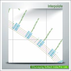

“ESurvey Interpolate” allows obtaining values at regular intervals.
It interpolates elevations at each cross section along the longitudinal section, which may further be exported to excel for section Generation. Practically, surveying at regular intervals is not possible for various reasons. Thus, to obtain values at regular intervals, points are interpolated. This interpolation is often done manually with a lot of calculations. To address this issue, Interpolate has been developed. It interpolates elevations at each Cross Section along Longitudinal Section, which may further be exported to Excel for Section Generation. It also uses the three most commonly used and proven methods of Interpolation techniques for data processing - Straight line, TIN or 3D interpolation.
Key Features:
Interpolation along an Alignment using any of the three methods – Straight line, TIN or 3D interpolation.
Create 3D polylines by selecting elevation texts.
Exports interpolated cross section and longitudinal section values to Excel or Section generation software.
Benefits:
Interpolate values quickly at required points on a surface without getting into complex surface building techniques.
Cad cam consultant providing cad cam designing services which includes e survey cad services, earth work services, generating topological maps, calculating earthwork quantities and e topo drawing services.
More details:View company website
Its Free
Verify Now